|
|
Editor’s Note: We are publishing a series of travel diaries this week. These pieces are part of our effort to deepen our reach across the state and build closer connections to communities in all 100 counties.
On my way into Carteret County, signs along the road urged me to “Pray for Down East.”
I was arriving in March, the month after a plane crash killed eight people — four of whom were students at East Carteret High School.
The last funeral took place the week before my visit, and the folks who work for the Carteret County Public School System were feeling emotionally raw.
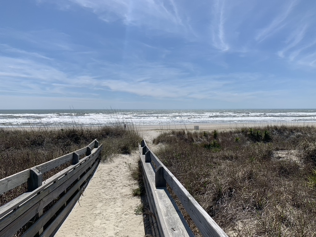

For many North Carolinians, Carteret County — home to the wild horses of the Rachel Carson Reserve, Morehead City’s Big Rock fishing tournament, the North Carolina Aquarium at Pine Knoll Shores, and historic Fort Macon — is a place to vacation.
But it’s important to remember that when the summer crowds dissipate, more than 68,000 people live and attend school here.
The residents of Carteret County are predominantly white (87%, while Black and Latinx residents each have populations around 5%), and have a low rate of poverty (9%) compared to the rest of North Carolina (13%).
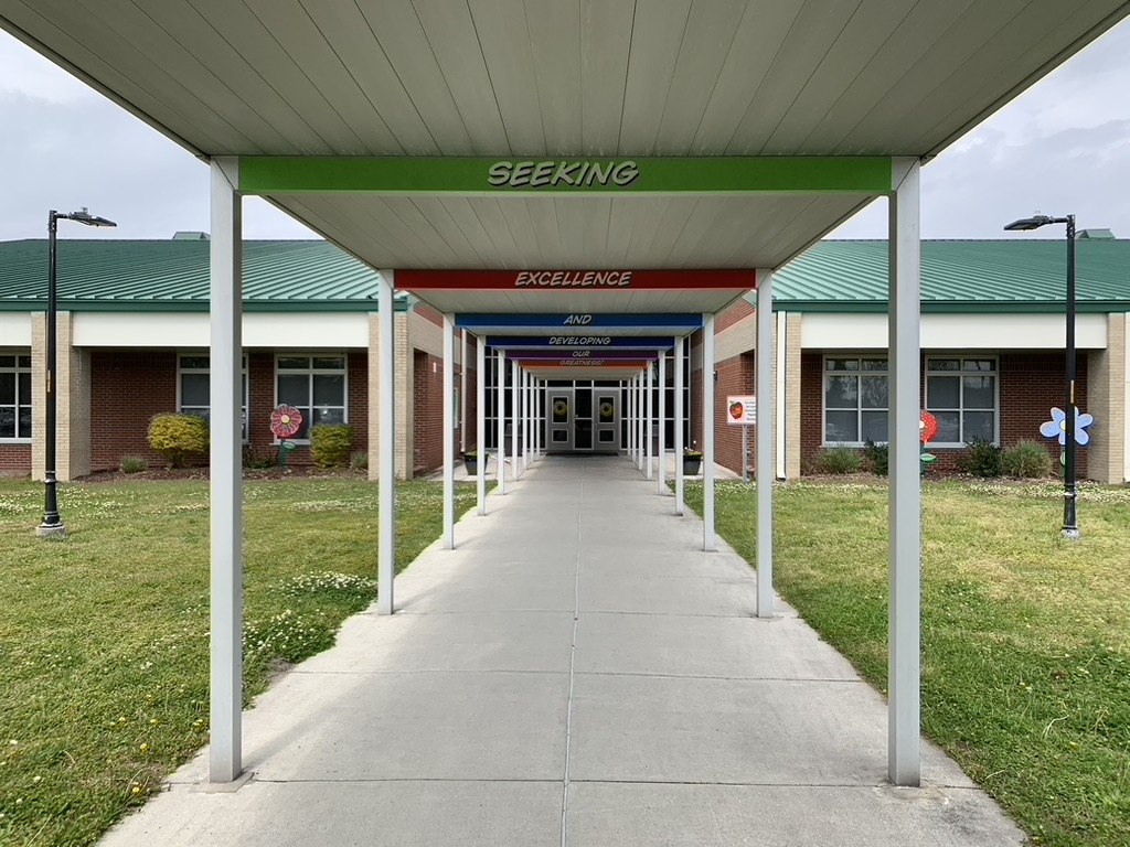

The Carteret County Public School System has 18 schools serving approximately 7,800 students. The district is led by Superintendent Rob Jackson, who told me the district was one of the first in the state to get students safely back in classrooms following the outbreak of the COVID-19 pandemic.
All of the educational leaders I spoke with credited their quick return — and their ability to cope with the tragedy of the plane crash — to what they had learned from their experience following Hurricane Florence.
Students were out of school three weeks in the autumn of 2018 due to the hurricane. The storm caused significant damage in this part of the state, and with schools closed, the community got a preview of what many other communities would learn in 2020 — schools provide students and families with more than education.
The leaders of Carteret Community College have embraced the challenges posed by the county’s hurricane-prone location on the coast. During the pandemic, the school completed a $1.4 million grant-funded project to develop a living shoreline that includes walking trails for members of the community.
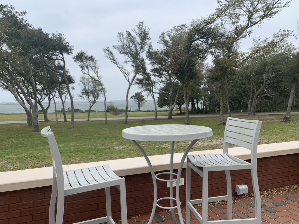


Folks in Carteret County take great pride in their resiliency, whether they’re facing a hurricane, a pandemic, or the individual challenges that other North Carolinians also encounter in their daily lives.
During my visit to Carteret County, I stayed in the home of someone who grew up spending summers in the county seat of Beaufort, and who now lives in the town full-time, supporting an aging parent and working from home.
It was too windy that night to enjoy each other’s company on the front porch’s creaky rocking chairs, but that didn’t make me feel any less welcome.
In Beaufort, I enjoyed lunch at Beaufort Grocery Co., dinner at the Black Sheep bar, and several walks along the waterfront.
The conversations everywhere I went centered on the weather and the water. That’s to be expected in a county that’s home to the southern portion of the Outer Banks, widely known as the Crystal Coast.
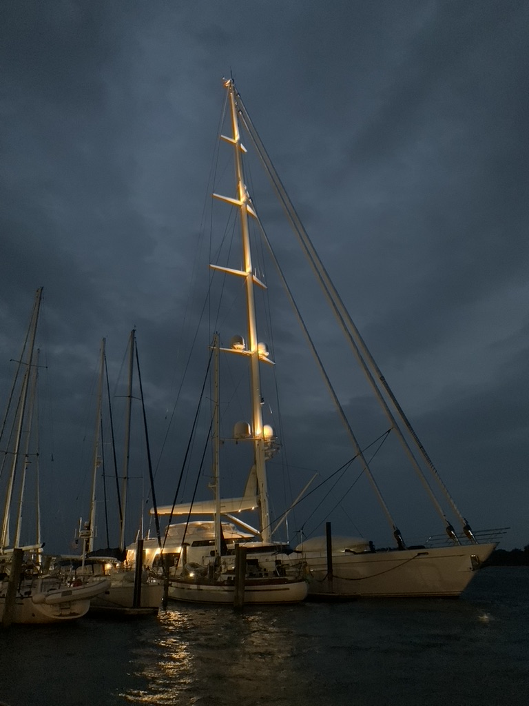

Several people told me that if I really wanted to get to know Carteret County, I had to drive the entire Crystal Coast, from Cedar Island in the northeast to Cedar Point in the southwest.
So I did.
But not before grabbing breakfast at Marmalade Café & Bakery. You can’t be an explorer on an empty stomach!


You can do the drive from Cedar Island to Cedar Point in about 90 minutes, but I wouldn’t recommend it. There are too many reasons to pull over and take in your surroundings.
To start with, Cedar Island hosts a ferry port and a beachfront campground. Someone described the site to me as “end of the world out there,” and she meant it in the best way.


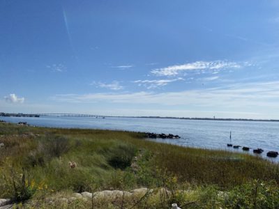
The drive between Beaufort and Cedar Island had views unlike any I’d seen elsewhere on the state’s coast. At one stop, I texted my spouse to say I felt like I was in New England instead of North Carolina.
The combination of rocky, marshy shoreline and small fishing villages looked more like Cape Cod than the northern Outer Banks near where I grew up.
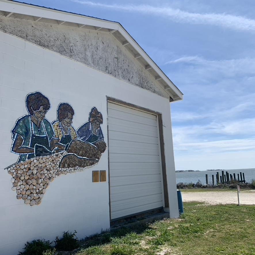
If you pay close attention along this stretch of Highway 12 and Route 70, you’ll notice special gems, like the mixed media mural on the old Willis Brothers Seafood building memorializing the women who’ve been essential to mariculture in Carteret County.

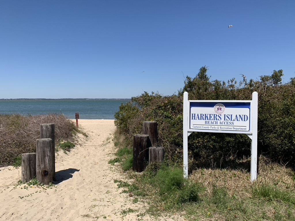
At a friend’s suggestion, I left Route 70 to visit Harkers Island. I wasn’t ready for lunch yet, but I’m told the Fish Hook Grill is the place to go.

Route 70 leads to Morehead City, where a left turn took me across the Bogue Sound to Atlantic Beach and the rest of the Crystal Coast using Highway 58.
While the northern part of my drive featured a rural landscape that caters to locals instead of tourists, the opposite is true along the southern drive.
Commercial fishing vessels replace individual fishing boats, densely packed beachfront vacation rentals and condos stand in place of traditional single-family homes, and public beach access points appear at regular intervals instead of signs indicating “Private Property.”
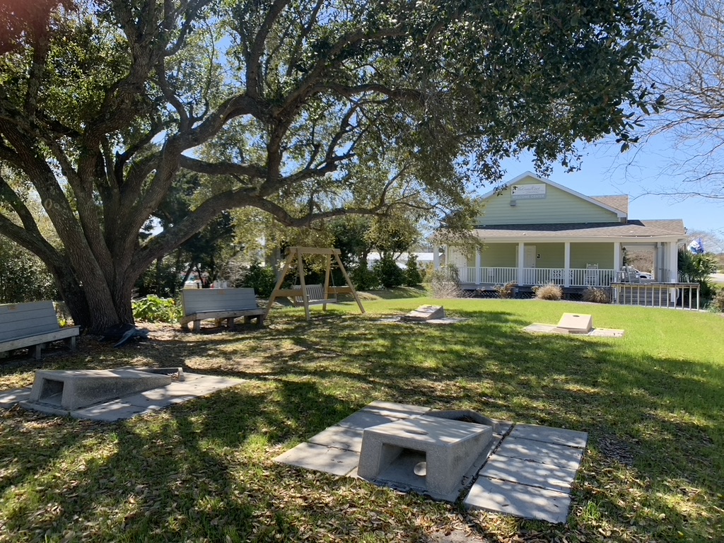
I stopped frequently to take in the views of the ocean and the sound. I also stopped in at the Crystal Coast Visitor Center in Emerald Isle, which features a wraparound porch filled with rocking chairs and, of course, the opportunity to play cornhole.

It took me … let’s just say more than 90 minutes to drive from Cedar Island to Cedar Point. But it was a drive that showed me what Carteret County is for the people who live “Down East.”


