What is the social vulnerability index (SVI)?
The Center for Disease Control (CDC) defines it as the “resilience of communities when confronted by external stresses on human health, stresses such as natural or human-caused disasters, or disease outbreaks.” Essentially, the lower the SVI, the less negatively impacted a community will be in both terms of its health and economy if a disaster — or in today’s case, a pandemic — strikes.
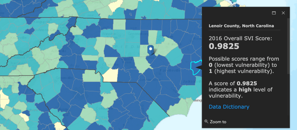
The SVI takes into consideration 15 social factors when determining an area’s ranking. Some of those factors include lack of vehicle access, housing status, and poverty. Only three of North Carolina’s 100 counties are considered to have a low level of vulnerability. Check out the CDC’s interactive map here.
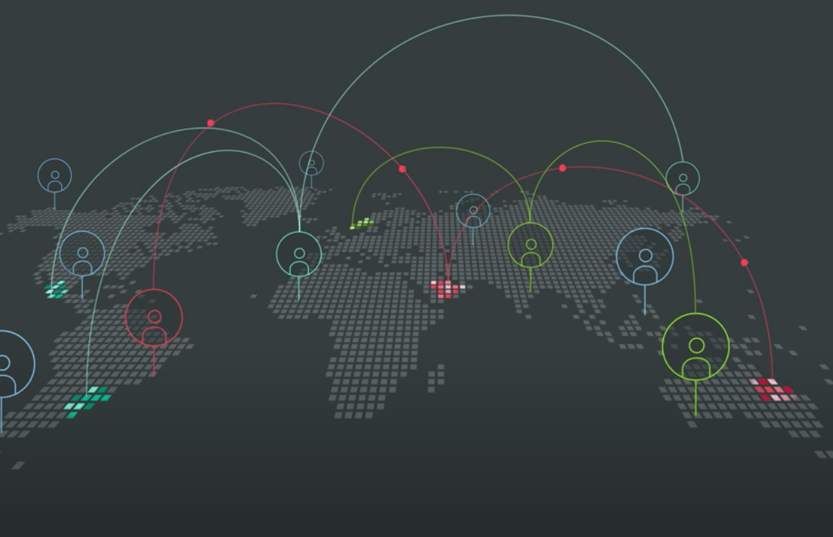
The Operations Risk Insights with Watson (ORI) at IBM created a geospatial interactive map for times like these to give an overview of resources and supply chains layered on top of areas most impacted by disaster. Previously, this map was used for natural disasters, like hurricanes, which happen often in North Carolina. Today, with the SVI data in play, non-governmental organizations (NGOs) are using the map to consolidate efforts, organize needs, and get potentially life-saving items to places that need them the most.
ORI began as a project in Research Triangle Park with four summer interns through IBM’s Extreme Blue program in 2015. The original intention of the map was to track and mitigate the global IBM supply chain when impacted by a hurricane.
Since its inception, the project has grown to include other natural disasters and even labor strikes. Tom Ward, A.I. Project Leader, was a mentor of that program, and he along with other IBM professionals hosted a virtual design thinking workshop on April 20 and 22 with NGO’s to share concerns and potentially develop solutions for COVID-19 responses.
The organizations selected to use this information are disaster relief organizations; Good360, LIFT, Save the Children, American Logistics Aid Network, and North Carolina-based Day One Disaster Relief. With combined information of these NGO’s and IBM’s internal organizations, IBM has determined the risk mitigation and cost avoidance over three years to be $13 million.
The map created by ORI can be drilled down by county level and shows locations of airports, businesses that are ramping up personal protective equipment production, hospitals, cases of COVID-19, and more. ORI is also taking into account reports from social media and what is trending relative to the data. Ward says, “we’re putting all of the data right at your fingertips, so you can assist with some of your decision making and prioritization of capabilities.”
These NGO’s were selected by IBM through an in-kind grant program and have access to the map and its data through 2020. This selection process happened prior to the COVID-19 pandemic and the nonprofits participated in a similar design thinking exercise back in January. IBM is open to include more non-profit disaster relief partners who are providing supplies or coordinating across county and state lines.
Recommended reading